
- cross-posted to:
- map_enthusiasts@sopuli.xyz
- cross-posted to:
- map_enthusiasts@sopuli.xyz
You must log in or # to comment.
deleted by creator
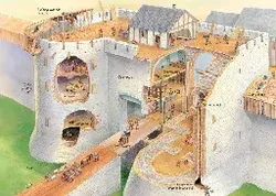
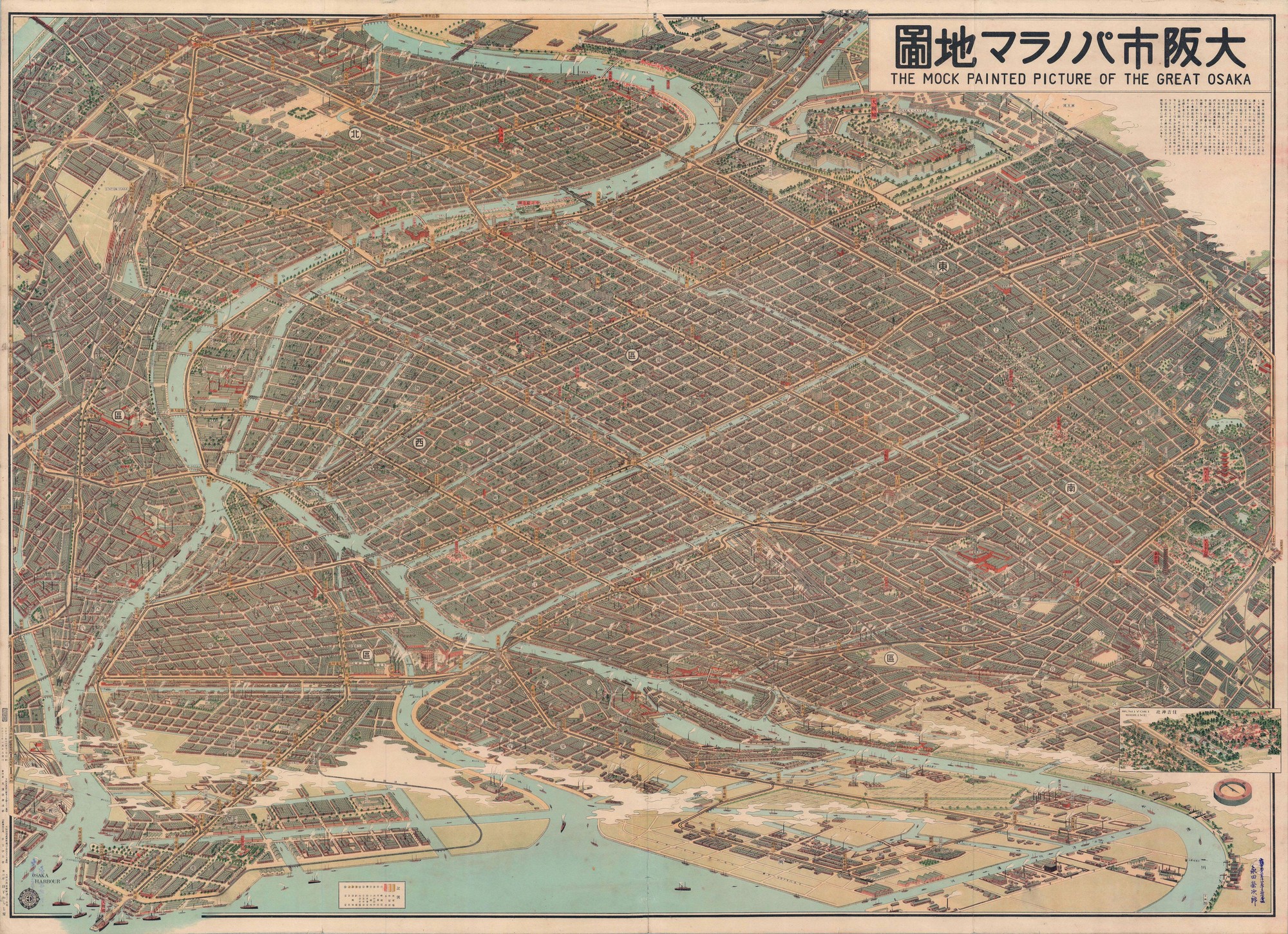
TinEye found the image on websites dating to 2015. Alamy has been selling it since 2021. Attributions unanimously say it was drawn in 1924.
So there’s two options. Either someone AI-generated an image with a quality generally only possible with current models and not only got it onto two different websites with manipulated metadata but also got a major stock photo agency to sell it with differently manipulated metadata. Or it actually is a human-made image and most likely a scan of an old map.
I don’t think this level of detail consistency on an image this complex is even possible with current models, particularly with unique bits like the routes looping along the borders which I don’t think I’ve ever seen done in a map like this. You’d have to do so much inpainting and babying it that it might as well be from scratch.
There is a third option…

deleted by creator
How do you figure?
deleted by creator
I did zoom in, but its all pixels. I am usually pretty on picking up ai slop. Thanks though
I’m willing to give the poster benefit of doubt on this one. After looking at one of the maps from the reverse image search this might just be a bad ai upscale.